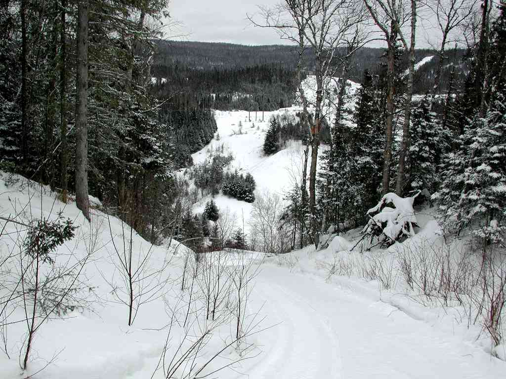
You want rough terrain to ride on? We have it. This is a very small sample of the type of terrain we have to the west of Marathon on the D Trail.
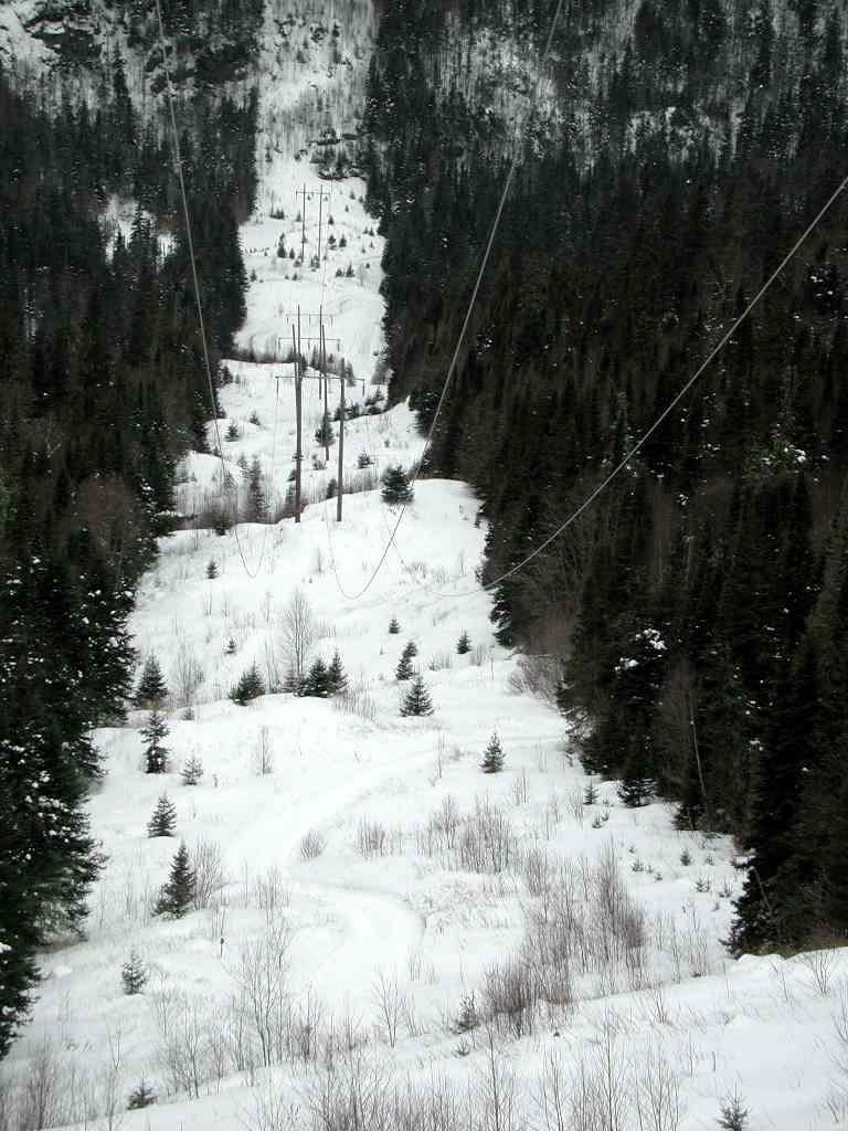 |
This picture is looking west on the D Trail. This picture isn't taken from the top of the hill - there is more! And once you get to the bottom, you get to start going up again. If you click on the image to see the larger version of this photo, you can just barely see the trail at the bottom of the hill. |
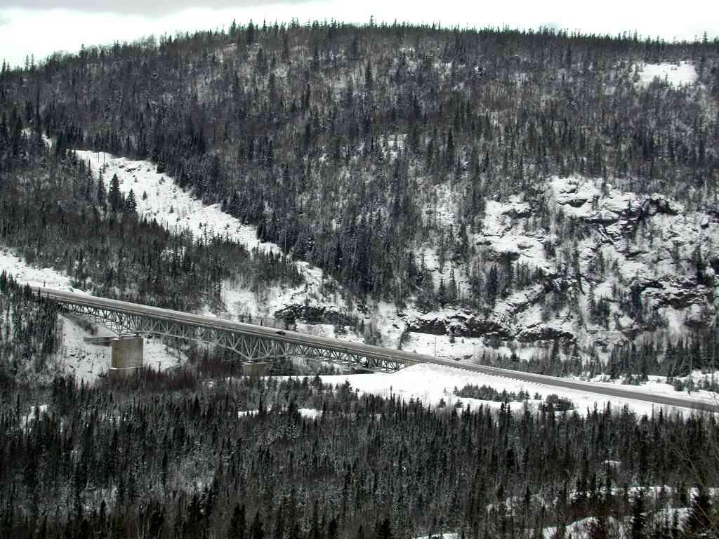 |
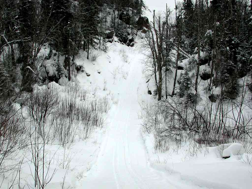
This is the Highway 17 bridge over the Little Pic River. Don't confuse this with the Pic River, which is to the east of Marathon. This photo was taken from the trail! The view is from the east side of the river looking towards the west. The trail on the other side of the river follows the bottom of the rock cliffs on the other side of the bridge. The trail goes up the hill tot he left of the left most rock cliff. |
|
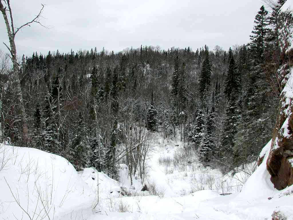
This photo is from the west side of the Little Pic River looking to the east. About two thirds the way down the picture (at the bottom of the trail) is a sharp turn to the left. This is the base of the rock cliff in the picture above where the trail travels along the river in a northerly direction. The Highway 17 bridge is a short distance to the right of this picture. |
|
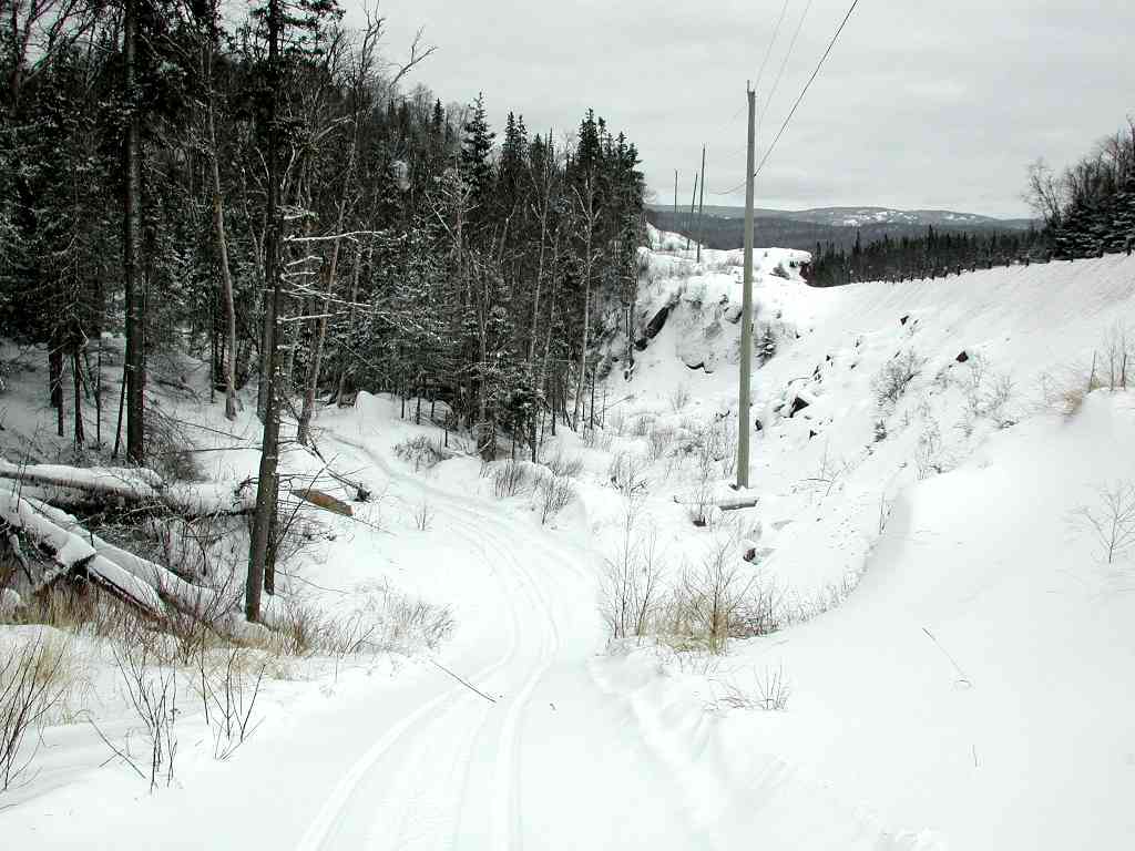
This photo is looking to the west a short distance west of the Little Pic River. |
|
Just a litle further to the west, here is a photo looking to the east. |
|
And a very short distance to the west of the above photo is this location. Camera is looking to the east. Highway 17 is to the immediate right. Don't think we are travelling along the tree line of the highway corridor! If you were to look to the west (turn around 180 degrees), you would see a turn to the right (away from the highway) and the trail going up yet another hill. |
Last updated 03 May 2005